


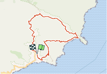

6,7 km | 11,4 km-effort

Usuario


Aplicación GPS de excursión GRATIS
 SityTrail
IGN / Institutos geográficos
SityTrail World
El mundo es suyo
Ruta Senderismo de 12,9 km a descubrir en Canarias, Santa Cruz de Tenerife, Santa Cruz de Tenerife. Esta ruta ha sido propuesta por meunier.ph..
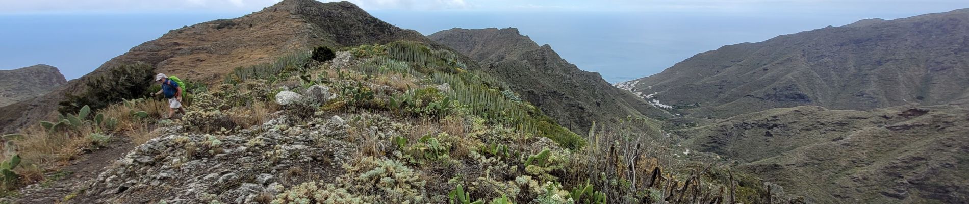
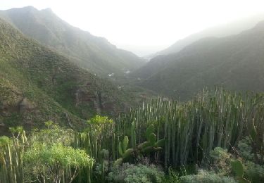
Belle rando dans un cadre sauvage. Le sentier en balcon, très escarpé au dessus des falaises avant d'arriver à la plage de Antequera, demande un pied sûr.


Senderismo
Senderismo
Senderismo
Senderismo

Carrera
Senderismo
Senderismo
Senderismo
Senderismo